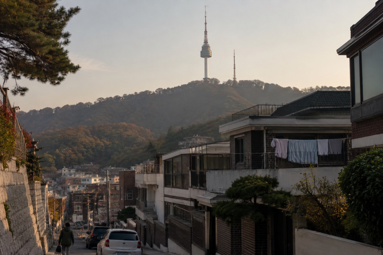
The map plots the real points on the four ways up Namsan; tapping a route or numbered point narrows the list. The mountain, the summit plaza and the landmarks around the tower base cost nothing, and only the deck ticket is paid.
Every mapped point is showing. Pick a route, or tap a numbered point, to narrow the list.
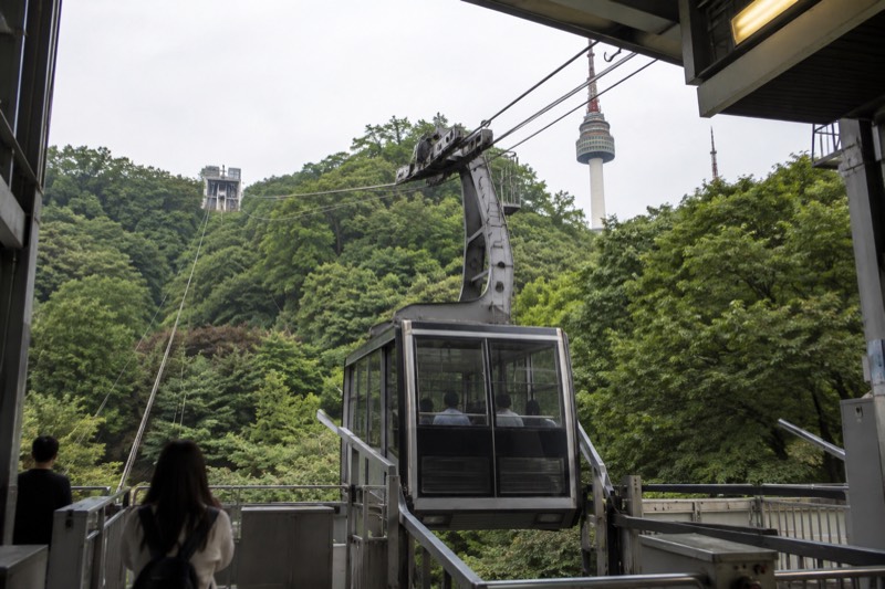
1 Namsan Cable Car Base Station
- cable car station
- Something here requires payment
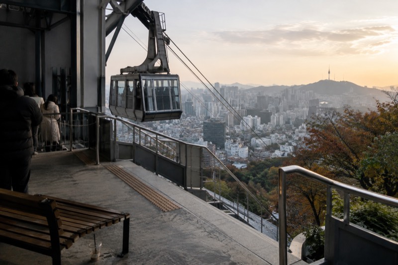
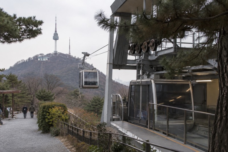
- Namsan Cable Car
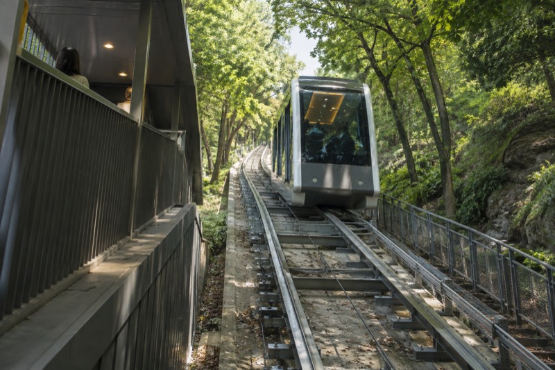
- Namsan Ormi Inclined Elevator
- Walking Trails Up Namsan
- 700 m from N Seoul Tower in a straight line
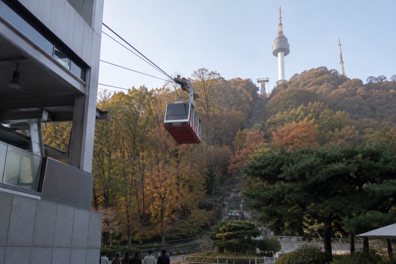
The lower cable car station on the hill above Myeongdong, run by a company separate from the tower.
Straight-line distance computed at build time from the two mapped OpenStreetMap coordinates. It is not a road distance, not a walking distance and not a walking time. OpenStreetMap node/770883304.
2 Namsan Cable Car Upper Station
- cable car station
- Something here requires payment
- Namsan Cable Car
- 150 m from N Seoul Tower in a straight line
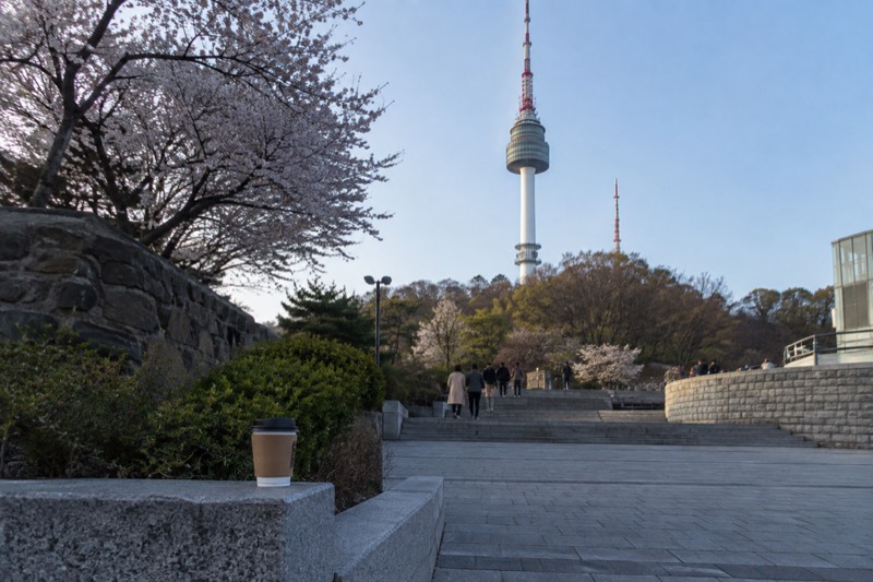
The cable car drops passengers close to the foot of the tower, leaving a short open-air stroll to the entrance itself.
Straight-line distance computed at build time from the two mapped OpenStreetMap coordinates. It is not a road distance, not a walking distance and not a walking time. OpenStreetMap node/770883301.
3 Namsan Ormi Inclined Elevator
- free elevator
- Free to reach and free to visit
- Namsan Ormi Inclined Elevator
- 900 m from N Seoul Tower in a straight line
The Namsan Ormi is a free glass inclined elevator run by Seoul city, lifting passengers from the Namsan Tunnel 3 monument up to the cable car station, so riders can skip the steepest part of the climb without paying anything.
Straight-line distance computed at build time from the two mapped OpenStreetMap coordinates. It is not a road distance, not a walking distance and not a walking time. OpenStreetMap node/13133163112.
4 Myeongdong Station Exit 3
- subway exit
- Namsan Cable Car
- 1.1 km from N Seoul Tower in a straight line
The exit the operators name for the walk up to the cable car, and the number holds for that route alone.
Straight-line distance computed at build time from the two mapped OpenStreetMap coordinates. It is not a road distance, not a walking distance and not a walking time. OpenStreetMap node/3403067530.
5 Myeongdong Station Exit 4
- subway exit
- Namsan Ormi Inclined Elevator
- 1.1 km from N Seoul Tower in a straight line
The exit for the free inclined elevator, while a different exit serves the walking route to the cable car.
Straight-line distance computed at build time from the two mapped OpenStreetMap coordinates. It is not a road distance, not a walking distance and not a walking time. OpenStreetMap node/3403067533.
6 Hoehyeon Station
- subway station
- Namsan Ormi Inclined Elevator
- 1.2 km from N Seoul Tower in a straight line
The second underground approach starts here, running beneath the shopping arcade before it reaches the free elevator.
Straight-line distance computed at build time from the two mapped OpenStreetMap coordinates. It is not a road distance, not a walking distance and not a walking time. OpenStreetMap node/6036160342.
7 Chungmuro Station
- subway station
- Namsan Sunhwan Circular Bus 01A And 01B
- 1.2 km from N Seoul Tower in a straight line
The Namsan circular buses board here and carry passengers right up to the tower itself.
Straight-line distance computed at build time from the two mapped OpenStreetMap coordinates. It is not a road distance, not a walking distance and not a walking time. OpenStreetMap node/5933896995.
8 Dongguk University Station
- subway station
- Namsan Sunhwan Circular Bus 01A And 01B
- 1.8 km from N Seoul Tower in a straight line
The circular shuttle buses also board here, on the mountain's opposite side, giving the same stop at the tower as the Chungmuro departure.
Straight-line distance computed at build time from the two mapped OpenStreetMap coordinates. It is not a road distance, not a walking distance and not a walking time. OpenStreetMap node/6033544419.
9 Palgakjeong
- free summit landmark
- Free to reach and free to visit
- Namsan Cable Car
- Namsan Ormi Inclined Elevator
- Namsan Sunhwan Circular Bus 01A And 01B
- Walking Trails Up Namsan
- 70 m from N Seoul Tower in a straight line
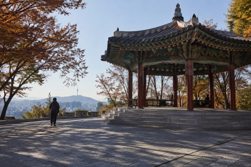
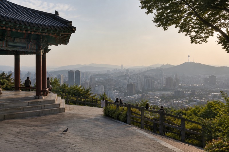
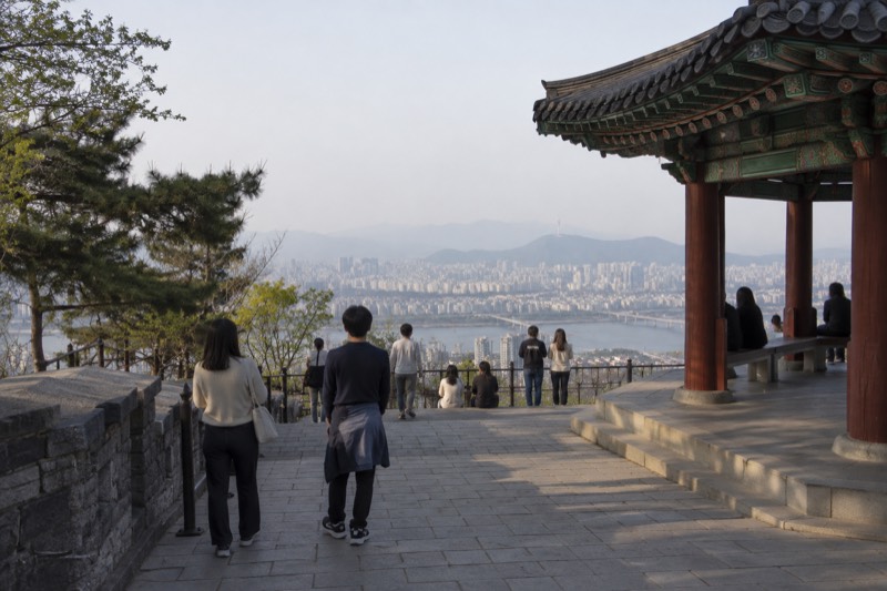
Palgakjeong, the octagonal pavilion on the summit plaza, sits on free ground outside the ticket gate, with open space around it that anyone can walk through.
Straight-line distance computed at build time from the two mapped OpenStreetMap coordinates. It is not a road distance, not a walking distance and not a walking time. OpenStreetMap way/304260842.
10 Namsan Bongsudae Beacon Mound
- free summit landmark
- Free to reach and free to visit
- Namsan Cable Car
- Namsan Ormi Inclined Elevator
- Namsan Sunhwan Circular Bus 01A And 01B
- Walking Trails Up Namsan
- 110 m from N Seoul Tower in a straight line
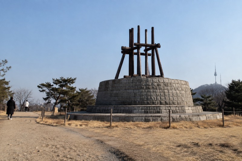
The Namsan beacon mound, a restored Joseon signal station designated Seoul Monument No. 14, stands below the tower and is free to walk up to.
Straight-line distance computed at build time from the two mapped OpenStreetMap coordinates. It is not a road distance, not a walking distance and not a walking time. OpenStreetMap way/378371654.
11 Love Locks
- free summit landmark
- Free to reach and free to visit
- Namsan Cable Car
- Namsan Ormi Inclined Elevator
- Namsan Sunhwan Circular Bus 01A And 01B
- Walking Trails Up Namsan
- 20 m from N Seoul Tower in a straight line
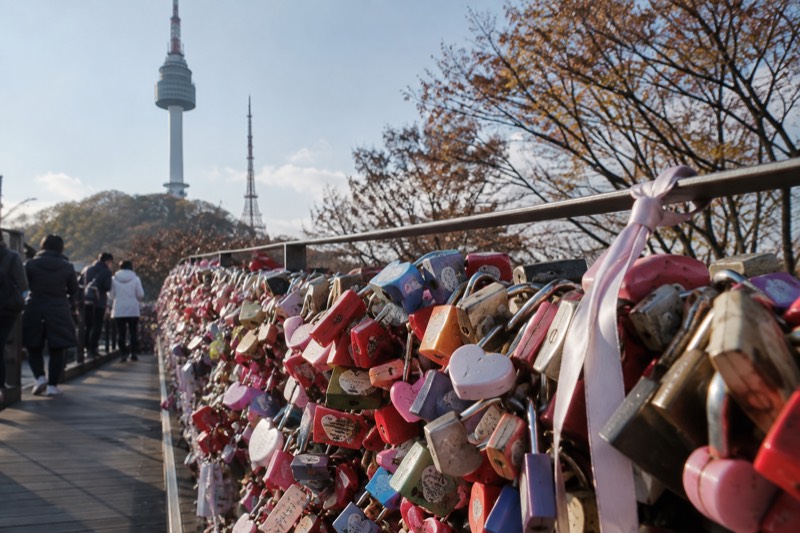
The love locks sit outdoors at the tower, and visiting them costs nothing, since they are on the free ground around the base rather than behind the observatory ticket gate.
Straight-line distance computed at build time from the two mapped OpenStreetMap coordinates. It is not a road distance, not a walking distance and not a walking time. OpenStreetMap node/13843522001.
12 Namsan Public Library
- trailhead
- Walking Trails Up Namsan
- 620 m from N Seoul Tower in a straight line
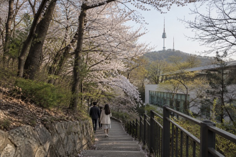
A marked trail to the summit begins on the Southern Circuit in front of Namsan Public Library, and Seoul city describes the blossom path above it as a spring walk.
Straight-line distance computed at build time from the two mapped OpenStreetMap coordinates. It is not a road distance, not a walking distance and not a walking time. OpenStreetMap node/414685270.
13 National Theater of Korea
- trailhead
- Walking Trails Up Namsan
- 1.1 km from N Seoul Tower in a straight line
Two separate trails start on this side of the mountain near the National Theater of Korea, one from the ticket booth and one up the steps beside it.
Straight-line distance computed at build time from the two mapped OpenStreetMap coordinates. It is not a road distance, not a walking distance and not a walking time. OpenStreetMap way/486317493.
14 Namsan Trail Entrance At The Cable Car
- trailhead
- Walking Trails Up Namsan
- 570 m from N Seoul Tower in a straight line
The park path up Namsan's north face begins beside the cable car station, so the free walk up and the paid ride up share the same starting point.
Straight-line distance computed at build time from the two mapped OpenStreetMap coordinates. It is not a road distance, not a walking distance and not a walking time. OpenStreetMap node/357820994.